Printable US and state maps
Five free maps for the United States and for each state: a blank outline, a county map with and without names, the major cities, and a shaded elevation map with the high point, low point and capital. Every map comes as a 300 dpi PNG and a print-ready PDF, generated from US Census Bureau and USGS data.
Maps generated · Free for personal, school and commercial use
United States maps
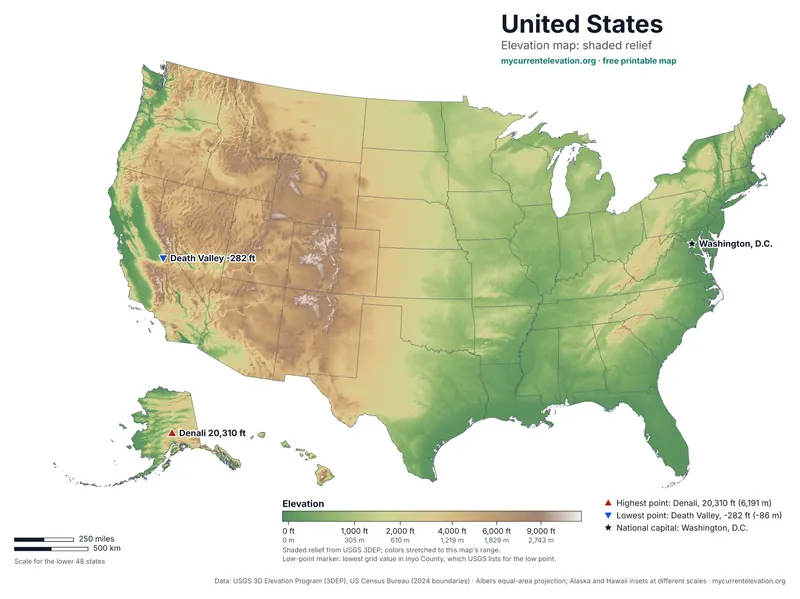
All 50 states: blank, with counties, labeled states, major cities, and elevation from -282 ft at Death Valley to 20,310 ft on Denali.
Maps by state
- Alabama map
- Alaska map
- Arizona map
- Arkansas map
- California map
- Colorado map
- Connecticut map
- Delaware map
- Florida map
- Georgia map
- Hawaii map
- Idaho map
- Illinois map
- Indiana map
- Iowa map
- Kansas map
- Kentucky map
- Louisiana map
- Maine map
- Maryland map
- Massachusetts map
- Michigan map
- Minnesota map
- Mississippi map
- Missouri map
- Montana map
- Nebraska map
- Nevada map
- New Hampshire map
- New Jersey map
- New Mexico map
- New York map
- North Carolina map
- North Dakota map
- Ohio map
- Oklahoma map
- Oregon map
- Pennsylvania map
- Rhode Island map
- South Carolina map
- South Dakota map
- Tennessee map
- Texas map
- Utah map
- Vermont map
- Virginia map
- Washington map
- West Virginia map
- Wisconsin map
- Wyoming map
What is on each map
- Blank outline: the state border and a scale bar, nothing else.
- Counties: every county (or parish, borough or independent city), with a second version that names each one.
- Major cities: the largest cities by 2024 Census population estimate, spaced so labels never overlap, and the capital.
- Elevation: USGS 3DEP elevation as color and hillshade, a legend in feet with meters, and the high point, low point and capital marked.
How the maps are made and checked: editorial policy and methodology.